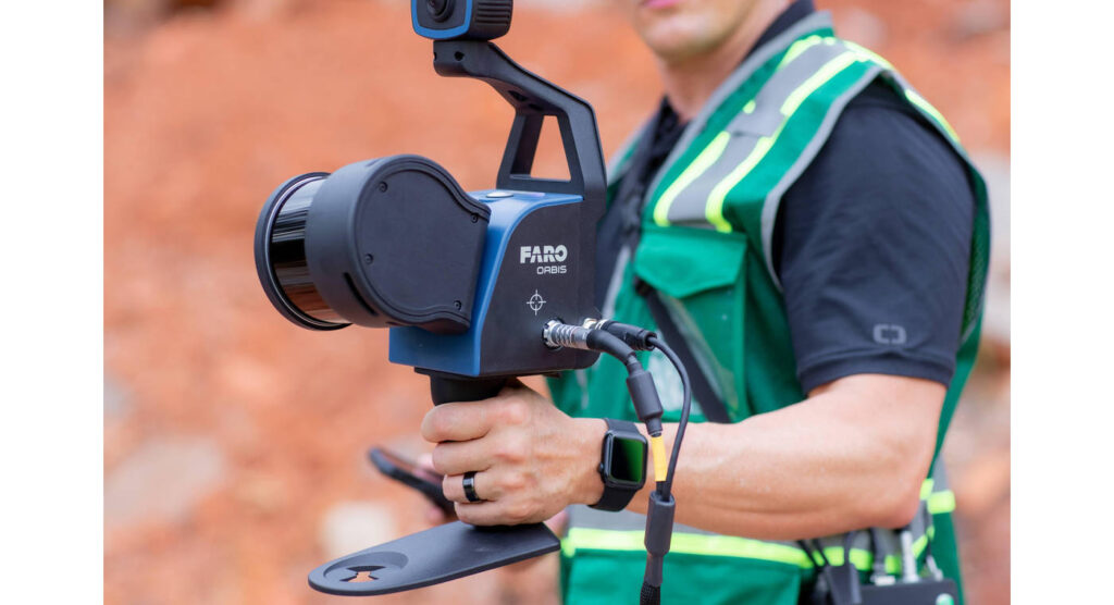
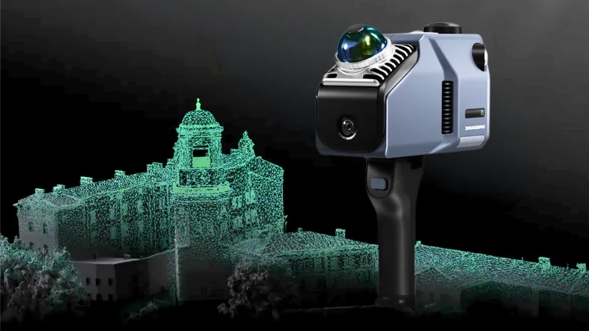
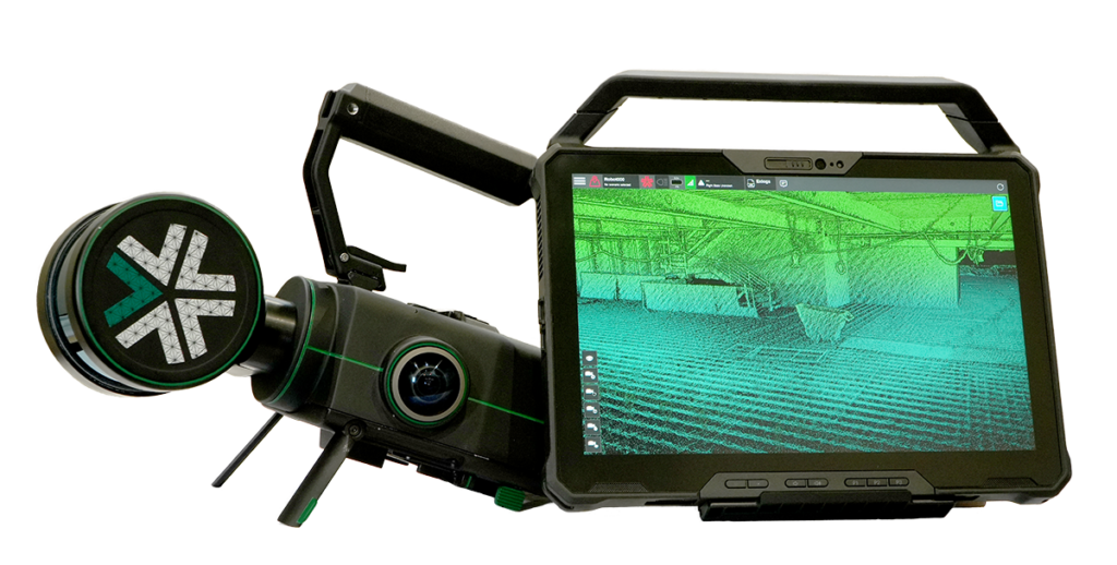
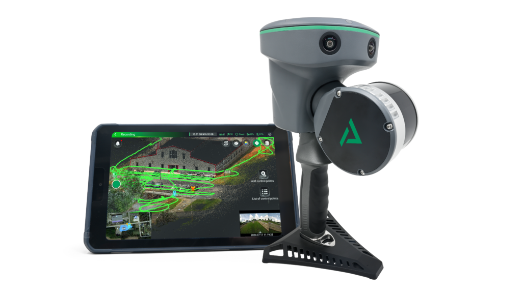
LiDAR Scanner
Lidar scanning can collect an enormous amount of information compared to a tradional survey, and make it available to use for a fraction of the time
standars laser scanners come with varying accuracy & reach parameters, but all are very accurate for use in most construction/renovation projects
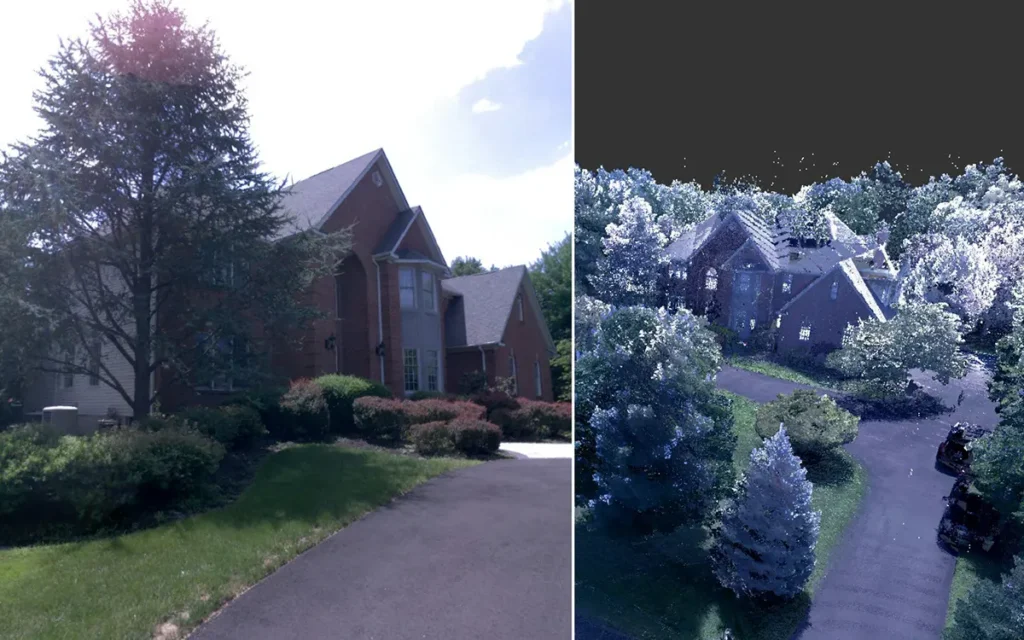
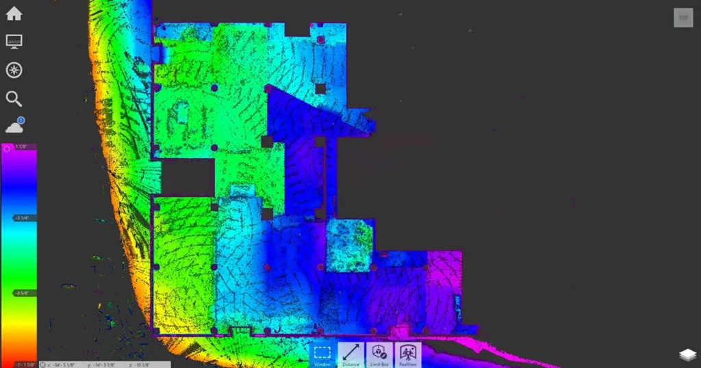
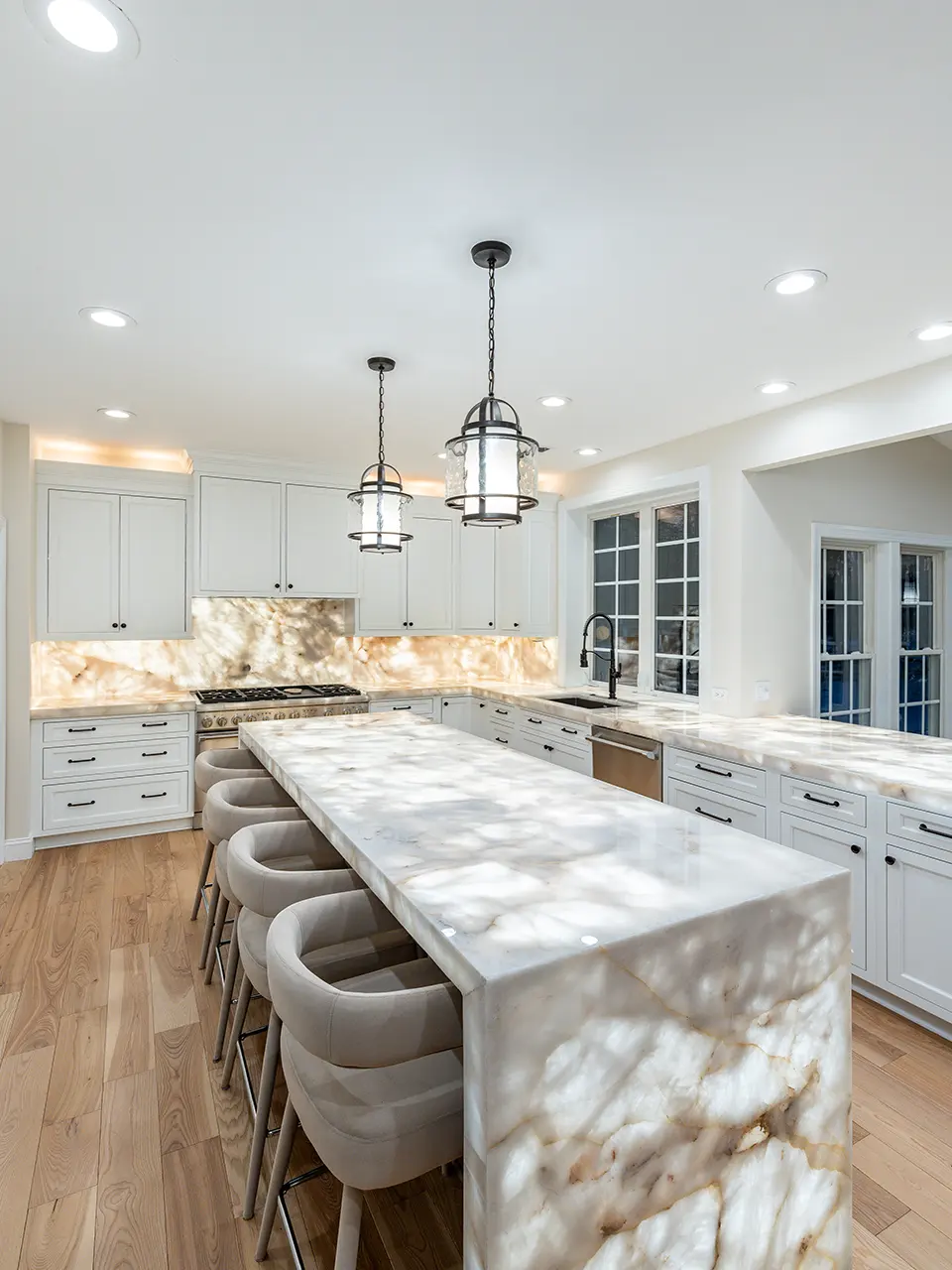
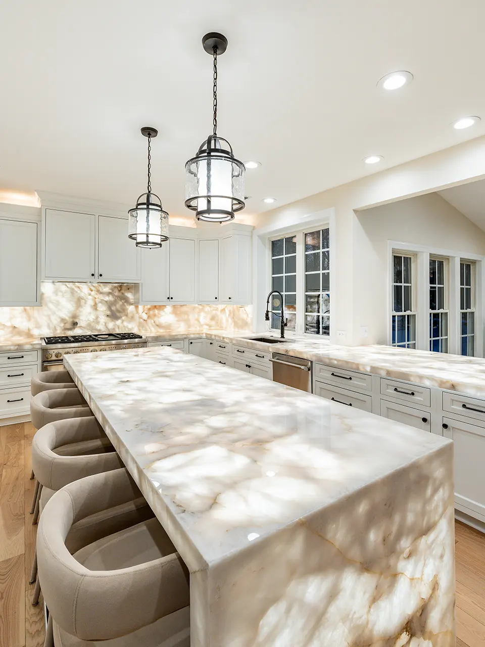
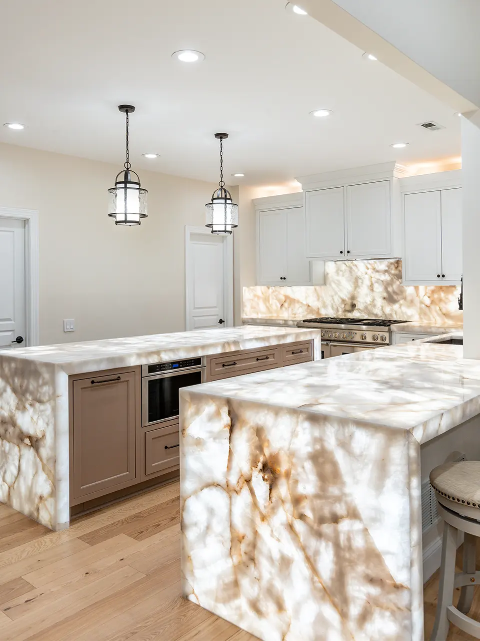
the Laser Scan is a reliable digital copy of the building / space that shows everything that was present at the time of the scan
point clouds, the digital format produced by the Laser Scan is compatible and usable on all the popular design software used today by architects and engineers.
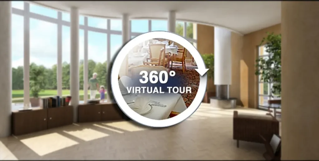
An additional service related to laser scanning is the virtual tour. Using the 360 photography technology of the Laser Scan, virtual tours can be online-based or independent, usable and accessible to anyone with the link or the file without the ose of professional software. A property owner can use the virtual tour at any time to advertise the property, measure the spaces or review with designers / contractors their renovation plans, everything from a laptop or smartphone screen.
- Eliminates Manual Errors: Reduces human measurement mistakes with automated laser capture.
- Handles Complex Geometry: Accurately maps curves, angles, recesses, and uneven surfaces.
- Speeds Up Workflows: Eliminates the need for physical templates or repeated site visits.
DMS offers the Lidar Scanning services with the maximum flexibility to adjust to the clients budget, schedule and specific needs:
Laser Scan point cloud in .rcp or .e57 format, plus the 360 photos taken at the time of the scan as separate .jpg image files. This is the most economical option that provides the base survey files ready for use by the designer, architect or engineer for your next renovation project.
- Laser Scan point cloud
- .e57 format
- .rcp format
- 360 photos taken at the time of the scan as separate .jpg image files
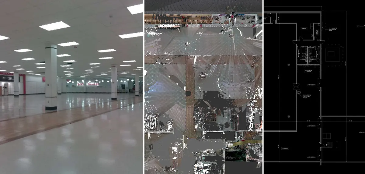
Includes Package A + the 2D autocad plans of the areas in scope. Your designers can get immediately to work using this package as existing plans.
- Laser Scan point cloud
- .e57 format
- .rcp format
- 360 photos taken at the time of the scan as separate .jpg image files
- 2D autocad plans of the areas in scope
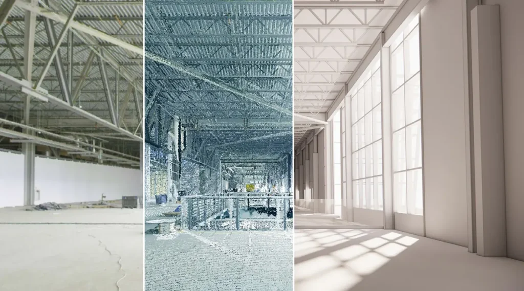
Includes Package A + B + a 3D Revit BIM model of the area of scope. As more and more architects and engineers are using BIM, this would be a preffered option to take advantage of the latest design technology and the benefits they bring to construction projects.
- Laser Scan point cloud
- .e57 format or .rcp format
- 360 photos taken at the time of the scan as separate .jpg image files
- 2D autocad plans of the areas in scope
- 3D Revit BIM model of the area of scope
Includes Package A + B + C + the virtual tour. A proprietary .exe Microsoft Windows file, or online based accessed directly through a link. Very useful to preview the property with your team for any purpose, from real estate advertising to planning the next renovation
- Laser Scan point cloud
- .e57 format or .rcp format
- 360 photos taken at the time of the scan as separate .jpg image files
- 2D autocad plans of the areas in scope
- 3D Revit BIM model of the area of scope
- Virtual tour .exe Microsoft Windows file
Includes Package A + B + C + E + Floor Level Report using laser scanning technology to identify deviations from the desired standard. This report is crucial for ensuring structural integrity, compliance with building codes, and smooth operation of machinery and vehicles, particularly in industrial settings.
- Laser Scan point cloud
- .e57 format or .rcp format
- 360 photos taken at the time of the scan as separate .jpg image files
- 2D autocad plans of the areas in scope
- 3D Revit BIM model of the area of scope
- Virtual tour .exe Microsoft Windows file
- Floor Level Report
Our LiDAR Technology
We use cutting-edge LiDAR scanning systems engineered for precision, portability, and versatility:
- Mobile LiDAR Scanners: Ideal for quickly capturing large spaces with flexible positioning.
- Tripod-Mounted LiDAR: Used for high-resolution, stationary scans with maximum detail.
- Advanced Software Integration: Data is processed using CAD and BIM-ready platforms (e.g., ReCap, AutoCAD, Rhino, Revit).
- Cloud Point Accuracy: Down to ±2 mm, ideal for fabrication-level planning.
Step-by-Step Process
Initial Consultation
Discuss your project’s scope, surfaces, environment, and output format.On-Site LiDAR Capture
We scan the area using mobile or tripod-mounted LiDAR systems.Data Processing
Raw point clouds are cleaned, aligned, and exported into usable formats.File Delivery
You’ll receive your deliverables within 24–48 hours, depending on complexity.
- 3D Point Cloud File (.las or .xyz)
- Scaled Floor Plans or Elevation Views (PDF, DWG)
- Annotated Photos of Scan Areas
- Optional 3D Mesh Models for CAD Integration
- Compatibility with AutoCAD, Rhino, Revit, Fusion 360 & more
- Standard Projects: Delivery within 24–48 hours
- Rush Delivery: Available upon request
- Starting Price: From €250 (based on area scanned and output needs)
- Custom Quotes: Available for large-scale, multi-surface, or cross-industry projects
Frequently Asked Questions
Standard outputs include point clouds (.las, .xyz), 2D plans (PDF, DWG), and 3D models (optional). We tailor to your software requirements.
Yes, our equipment supports both indoor and outdoor scanning—even in low-light conditions.
Yes for precision. LiDAR provides more accurate dimensional data, especially in reflective or low-contrast environments.
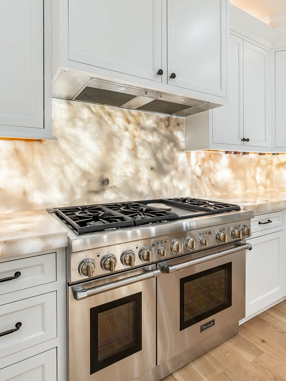
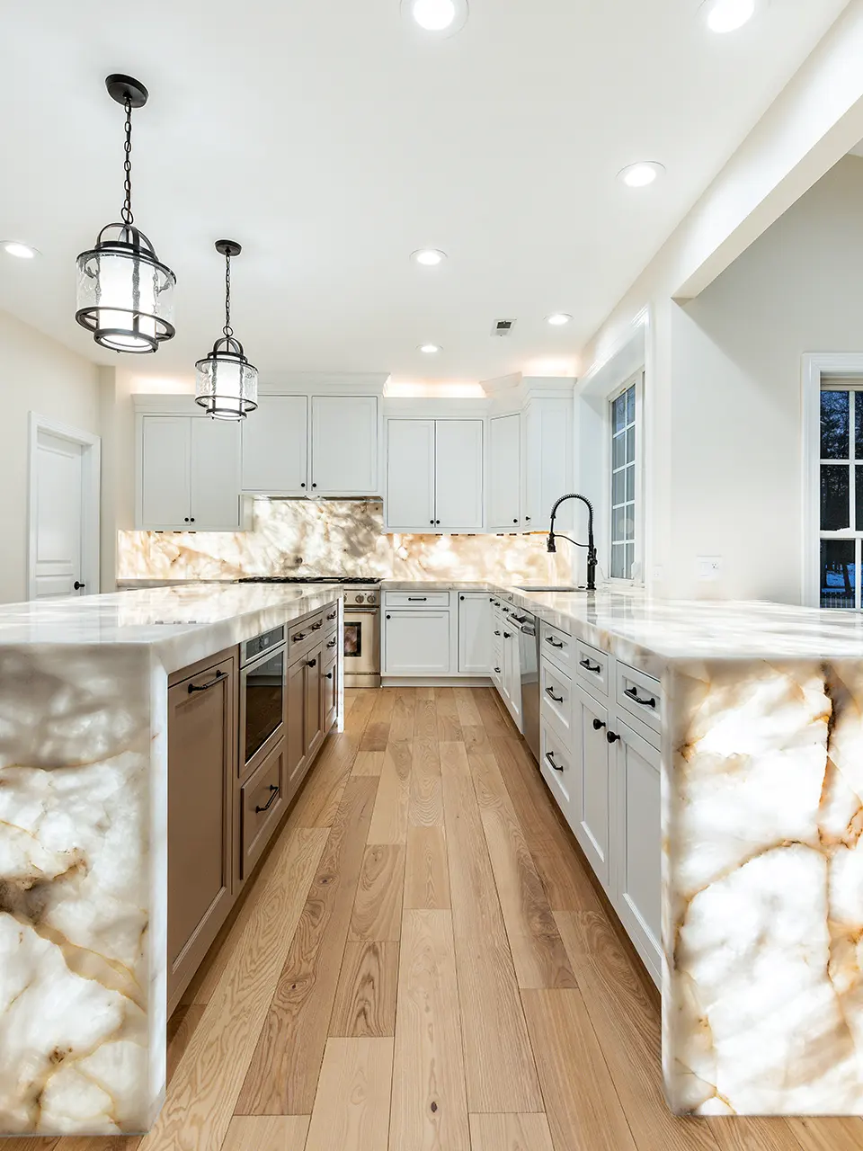
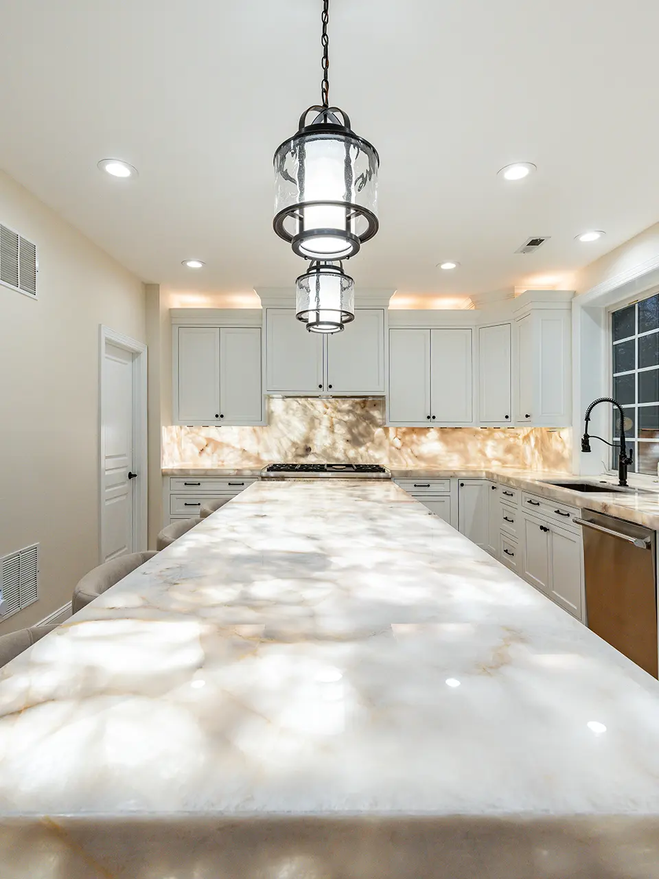
From small vanities to entire buildings or vessels. We scale based on your project.